The Best Waterfall Hikes in Colorado

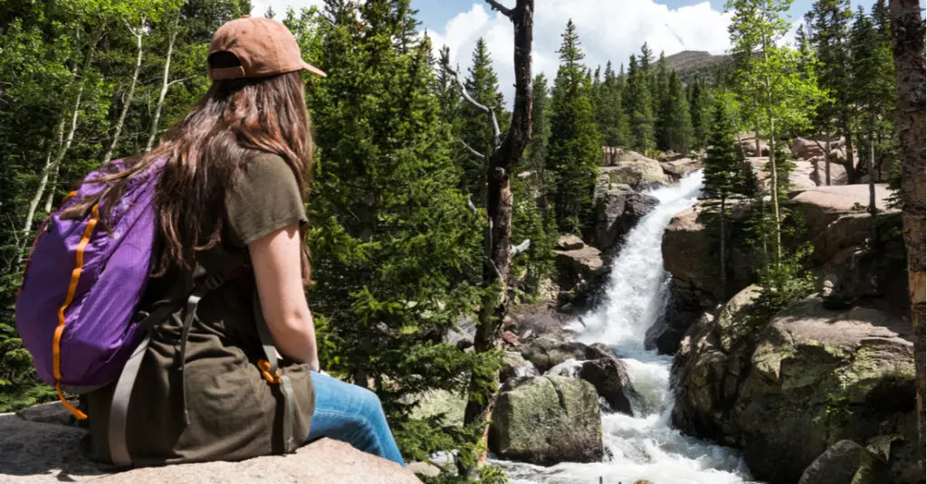
Colorado’s 54 fourteeners – peaks with summits of at least 14,000 feet above sea level – tend to hog the spotlight on the state’s outdoor adventure stage. But some of the Centennial State’s best hikes don’t involve peak bagging at all. Whether you’re looking for plunging pillars of water or majestic tiered cascades, these best waterfall hikes in Colorado reward your efforts with photo-worthy waterfall views at the end of the trail.
Hanging Lake
Location:
Glenwood Springs
Length:
2.4 miles out and back
Elevation gain:
1,135 feet
This travertine geological formation (and Natural National Landmark ) inside White River National Forest supports one of Colorado’s largest communities of hanging garden plants, lending it an otherworldly feel. This beauty comes at a cost; Hanging Lake gets busy, and you’ll need to apply for a hiking permit to make the steep, rocky ascent along this backcountry trail. Due to the delicate nature of the ecosystem here, swimming in the lake is prohibited, but it’s well worth the effort for the scenery alone.
Bridal Veil Falls
Location:
Telluride
Length:
3.6 miles out and back
Elevation gain:
1,650 feet
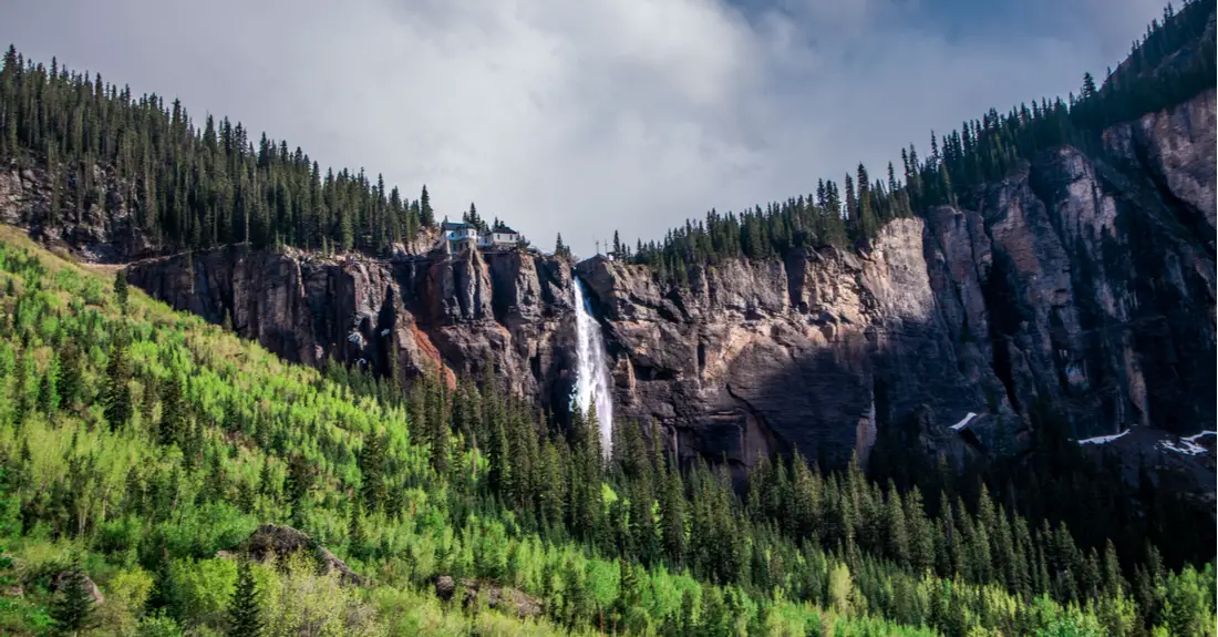
The 365-foot Bridal Veil Falls is the longest free-falling waterfall in the state. The first part of the trail – a series of gravel switchbacks – leads to the base of the falls and is open to vehicles. A pedestrian-only trail ascends the final 0.6 miles to the top of the cascade. When the waterfall freezes in winter, it doubles as one of the region’s most popular ice climbs. Leashed dogs are welcome to join you on this moderate hike.
Ouzel Falls
Location:
Estes Park
Length:
5.4 miles out and back
Elevation gain:
950 feet
This portion of the Wild Basin Trail inside Rocky Mountain National Park takes hikers to the 40-foot Ouzel Falls, and as a bonus, passes both Copeland Falls and the Calypso Cascades along the way. Keep an eye out for water ouzels (a.k.a. American dippers), the aquatic songbirds that give this waterfall its name. This is also one of the best wildflower hikes inside the park, particularly during late spring and summer.
Rifle Falls
Location:
Rifle
Length:
0.2 miles out and back or 1.5-mile loop
Elevation gain:
Less than 100 feet
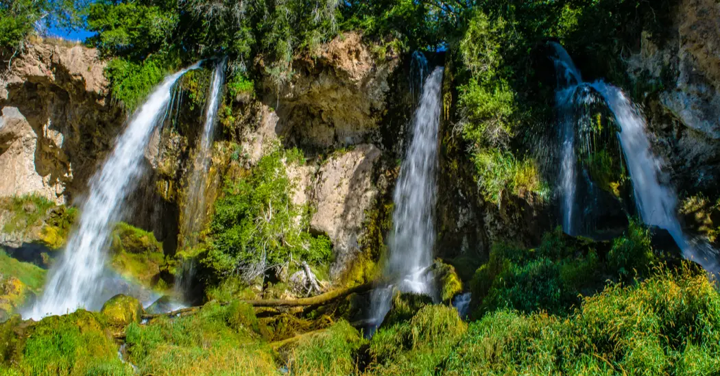
Rifle Falls State Park in northwestern Colorado gets its name from Colorado’s only 80-foot triple waterfall – one of the most accessible waterfalls in the state. The entire Coyote Trail is paved and ADA accessible. But those looking for more can explore the limestone caves along the Coyote Trail or take the longer 1.5-mile Squirrel Trail loop. Leashed dogs are welcome on the trail.
Zapata Falls
Location:
Alamosa
Length:
0.9 miles out and back
Elevation gain:
200 feet
You’ll hear the roar of the 30-foot-tall Zapata Falls long before you spot it for the first time while making this hike through the Sangre de Cristo Mountains. Stop to savor the views of Colorado’s Great Sand Dunes from the parking area before hitting the trail. While this relatively short and easy hike is most popular in the warmer months, it’s also rewarding in winter, when the falls freeze into a sheet of luminous blue ice.
Fish Creek Falls
Location:
Steamboat Springs
Length:
0.25 to 12 miles out and back
Elevation gain:
None to 2,440 feet
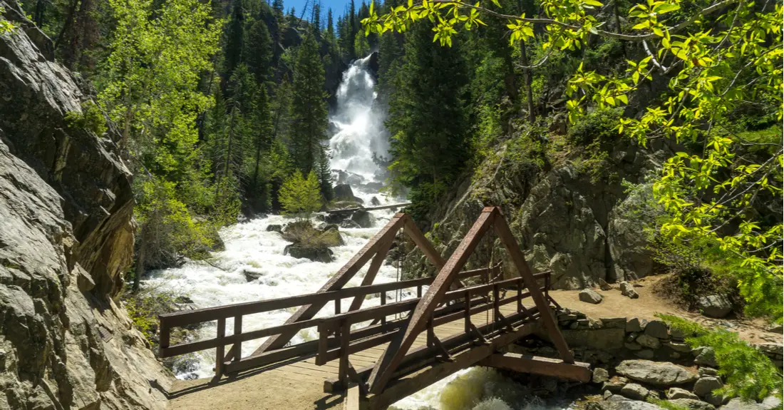
Hikers have a variety of trail options when visiting the 280-foot Fish Creek Falls, just a few minutes from downtown Steamboat Springs. A half-mile paved path leads to an overlook, while an even shorter gravel trail takes hikers to the base of the falls. Continue another 2.5 miles to the upper falls, or make the 12-mile roundtrip trek to Long Lake, where moose sightings are common . While the trail beyond the base can get strenuous, you’ll find plenty of shade and places to rest.
Box Canyon Falls
Location:
Ouray
Length:
500 feet
Elevation gain:
Negligible
The town of Ouray, nicknamed the Switzerland of America, boasts spectacular alpine scenery and a few nearby waterfalls, including the 85-foot Box Canyon Falls, accessible via the mostly level Falls Trail. The waters of Canyon Creek plummet into a quartzite canyon. Visit from early June to September to see the Black Swift bird colony that takes up residence in the canyon during the summer.
